Basic idea:
- 3D Stereo of terrain on standard computers, without additional investment in hardware
- Orthophoto maps developed using vertical and oblique aerial images
- You can measure positions of details on the ground:
- Coordinates X, Y
- Length
- Area
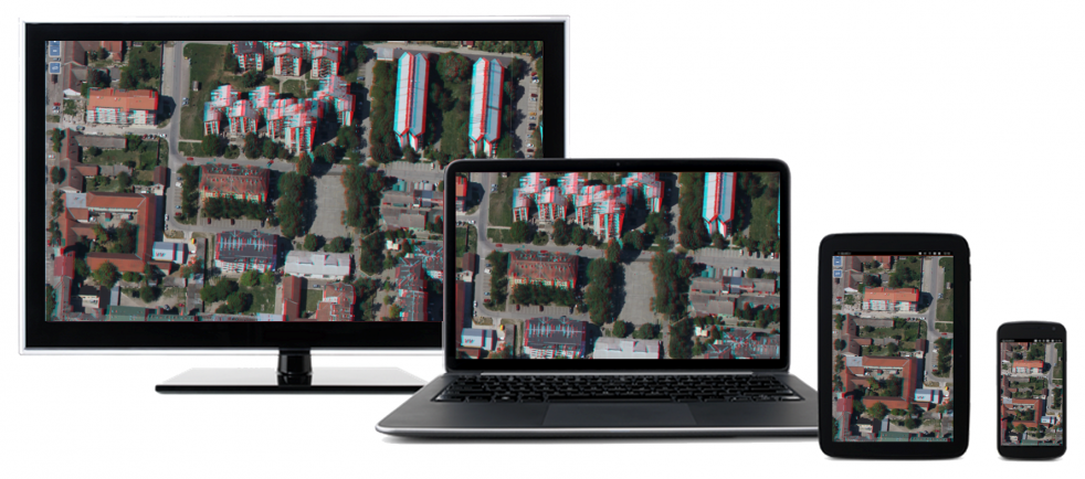
- 3D stereo view on your notebooks, tablets or mobile phones
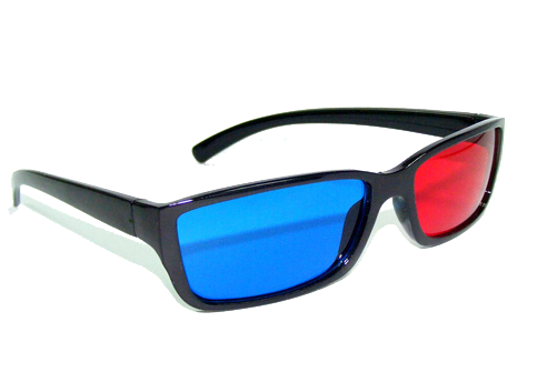
- All you need are stereo glasses and … our stereo orthophoto maps
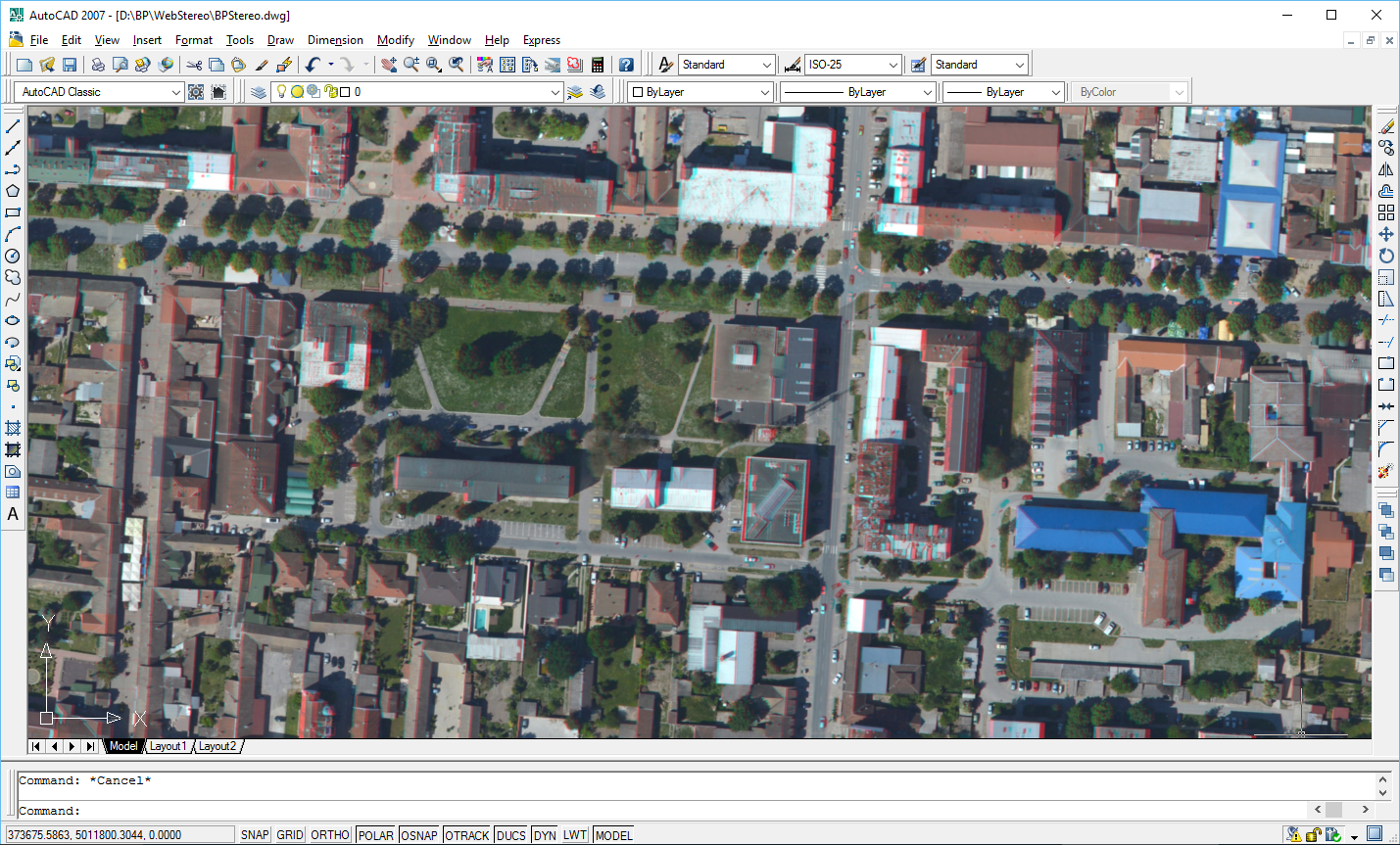
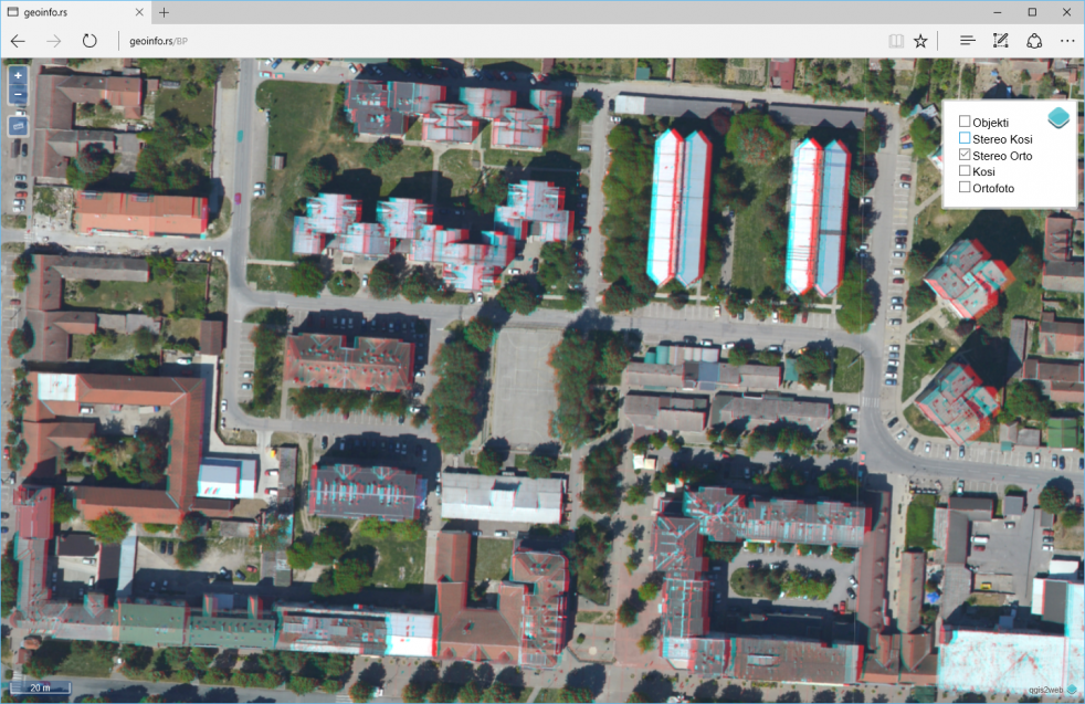
- Easy for use in all standard software packages:
- CAD: AutoCAD, MicroStation …
- GIS: QGIS, ArcInfo, GeoMedia, MapInfo, Digitals …
- 3D view from your local computernetwok or by internert, WMS support,
- Fast and afordable source of 3D information
- Detail view of building fasades
System easy for use. Simply insert georeferenced stereo ortophoto map in your favourite software and enjoy in 3D stereo view.
Contact us info@geoinfo.rs and we will send you stereo glasses to test our products.
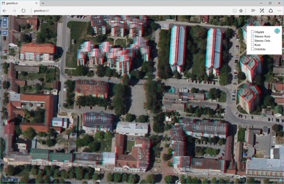
Example: Stereo orthophoto of city center of Bačka Palanka – vertical view
Example: Stereo orthophoto of citycenter of Bačka Palanka – oblique view
Stereo orthophotos can be used for:
- Detections of changes in the field,
- 3D stereo view of structures
- Measurement and GIS data collection
- Support for risk management
- As basic layer in:
- Urban planning
- Real estate cadastre
- Cadastre of utilities
- Cadastre of vegetation
- Cadastre of traffic signalization
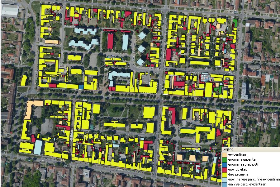
Example – Legalization of structures without building permit
Use stereo orthophotos in any software:
- CAD: AutoCad, MicroStation
- GIS: QGis, ArcInfo, GeoMedia, MapInfo, Digitals
- Adobe Photoshop
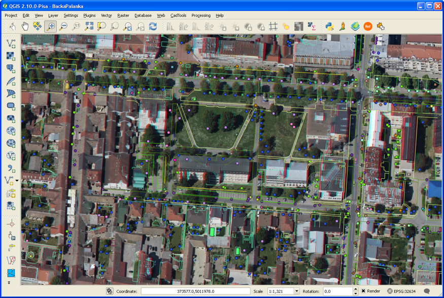
Stereo orthophoto in QGIS
Stereo orthophoto in AutoCAD