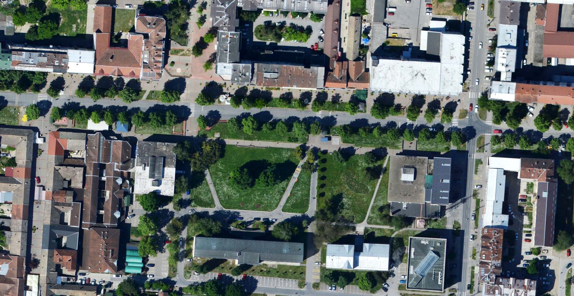
The GeoInfoORTHO is a collection of orthorectified vertical aerial image mosaics. Our aerial images were obtained in resolution from 5cm to 20cm per pixel. Orthophotos were produced from vertical imagery that has been geometrically corrected to represent its true ground position. Orthophoto tiles usually cover 1km² . Orthophotos can be delivered offline in georeferenced tiles or can be accessed online.

Traditional aerial imagery has been used in many sectors. This product is a proven economical solution to reduce site visits. Government departments are using orthophotos as part of their GIS systems, Urban planning institutes and municipalities are using this product for planning and visualisations.
GeoInfoORTHO can be delivered in ECW, JPG or TIFF format, suitable for any standard CAD or GIS solutions.
For ordering this product, please specify following:
- project area,
- cartographic projection and datum,
- positional accuracy,
- additional topographic content to be presented over aerial images
We pay special attention to QA – system in realization of our projects. Based on user requirements and requested accuracy, we will design flight plan, including ground control points distribution. This aproach will ensure that final product is in accordance with user requirements.
