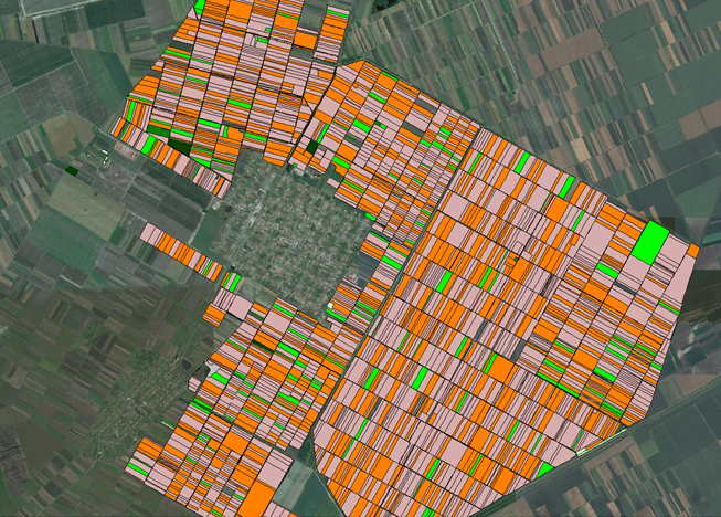
Geo Info finalized digital topographic map of rural area of cadastral municipality Banatsko Karadjordjevo.
Following picture presents distribution of irigation and roads network of municipality.
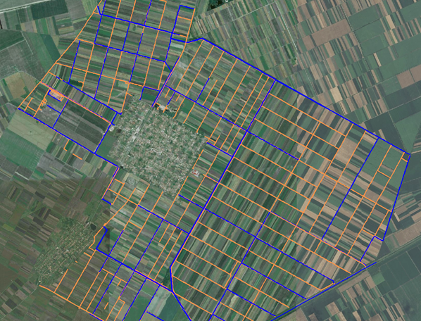
Total surveyed surface was 5.000ha. Field teams collected data about existing constructions and long term crops.