
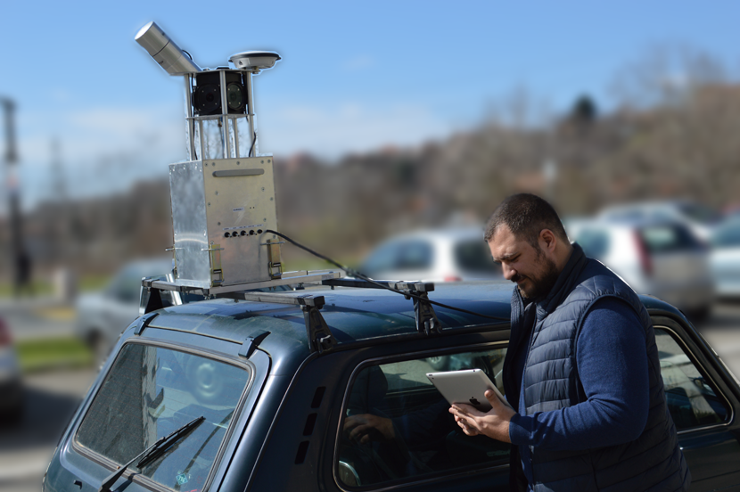
GISMobile 1 is our new design of mobile mapping system for massive GIS data collection and 3D modelling. Please check possibilities of this high performance, low cost system
Features
Compact body
Rapid lidar surveying with georeferenced panoramic images
Integrated INS and GNSS
Easy mounting and fast setup
Lidar with up to 700,000 points per second
Wireless operation
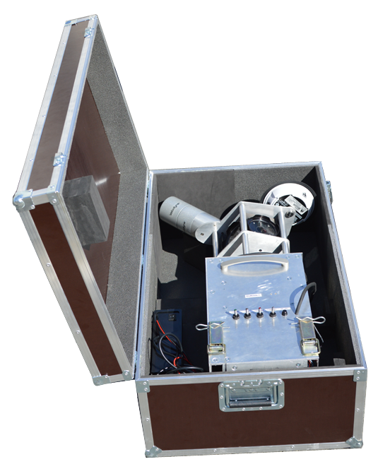
GISMobile 1 in shipping case
Applications
GIS data collection
3D modelling
Asset inventory
Transportation safety
Construction
Railways mapping
| System Specifications | |
|---|---|
| Operating Temperature | 0° to 45°C |
| Dimensions | 49 cm × 30 cm × 88 cm |
| Power Supply | 12 V – 36 V DC |
| Weight | 18 kg |
| Laser Components | |
| Laser beams | 32 |
| Rotational Field-of-View | 360° |
| Vertical Field-of-View | +10° to -30° |
| Output | 700.000 points/second |
| Range Precision | ±2 cm at 25 m distance (one sigma) |
| Safety | Class 1, eye-safe |
| Imaging Components | |
| Panoramic camera | Ladybug 5 |
| Imaging Sensor | Sony ICX655 CCD × 6, 2/3″ |
| Field-of-View | 90% of full sphere |
| Spherical Distance | Calibrated from 2 m to infi nity |
| Megapixels | 30 MP (5 MP × 6 sensors) |
| Optics | 6 high-quality 4.4-mm focal length lenses |
| Focal Distance | ≈200 cm. Objects have an sharpness starting from 60 cm to infinity |
| Software | |
| Collection & Monitoring | Real-time data display |
| GIS data collection | Orbit 3DM Feature Extraction |
| Shipping Case | |
| Type | Robust, custom-designed shipping case |
| Dimensions | 54 cm × 92 cm × 38 cm |
For more information, please download instrument brochure.