
The main functionalities are:
Import – export of data from fieldwork, GIS and CAD data in many formats,
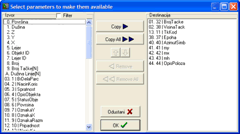
Automatic fill-in of attribute values using parametric functionalities,
Vectorization of cadastral and topographic maps and maps of utilities,
Automatic calculation of parcels area and their comparison with values from legal documents or cadastral database,
3D vectorization, DTM data extraction, contour lines,
Tools for land consolidation support,
Advanced technique for QC of maps topology,
Maps printing,
Complete interface is in local language
Work with hybrid raster and vector data:
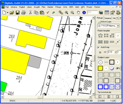
Topology is derived automatically. Using this tool it is possible to:
check topological relations of map elements,
to realize complete topology QC, and
to locate detected problem in topology on the map
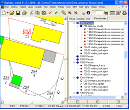
It is possible to define attributes for map elements. Using atributes it is possible to describe features on the map in much more details.
For each attribute you can define its format, domain and style of graphical representation on the map like font type, size and color.
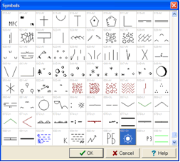
The latest set of topographic symbols (prepared according to national standards defined by the national cadastral agency) is delivered with the software license. Following picture presents definition of map legend using layers and map symbols:
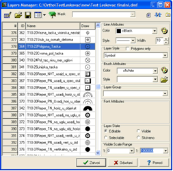
As part of the standard software there is a Symbol Manager. Using this tool, client can define any type of map symbol in vector form.
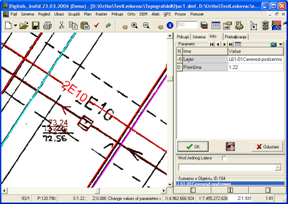
Delta can be used for vectorization of utilities from existing maps.
Using combination of raster and vector map data it is recomended to use following phases during vectorization of maps of utilities:
phase 1 – work with georeferenced raster maps,
phase 2 – vectorized utilities data overlaid on georeferenced topo maps or on orthophoto maps,
phase 3 – work with complete vectorized maps
Integration with GPS receivers
When software is installed on rugged field computers it is possible to integrate the system with any GPS receiver using NMEA protocol. Advantage of such solution is that surveyor can finalize complete mapping project during the fieldwork. Only some minor changes and graphical layouts can be prepared in the office.

