The main objectives for creating cadastre of green areas in cities are:
- Development of information base for planning and monitoring of works related to maintnance of green areas an their assets,
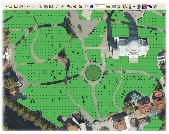
- Inventory of existing status of green areas
- Reduction of fieldwork
- Easier planning and reporting of works realized in city green areas
Technology of data collection is based on combination of:
- vertical and oblique aerial images with
- mobile mapping system and
- office data collection with significant reduction of fieldwork
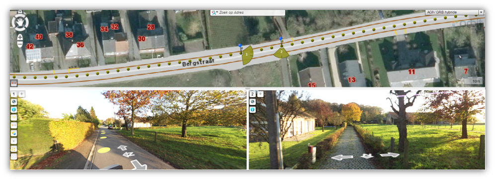
Mobile mapping system provides: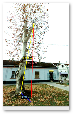
- Detail presentation of landscape from pedestrian perspective,
- System based on panoramic images and point cloud,
- Detail presentation with high resolution images,
- Data collection from the office, with significant reduction of fieldworks
- Measurement of following parameters:
- spatial coordinates,
- distances (height and width of trees …),
- altitude,
- area
After data are collected and checked, it is possible to prepare various reports, in accordance with client workflows:
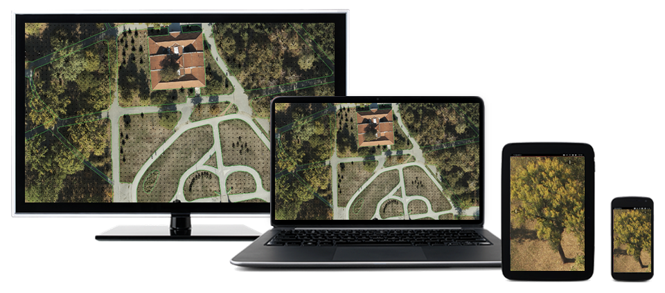
System can be used on various platforms, from personal computers to tablets and mobile phones:
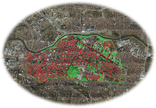
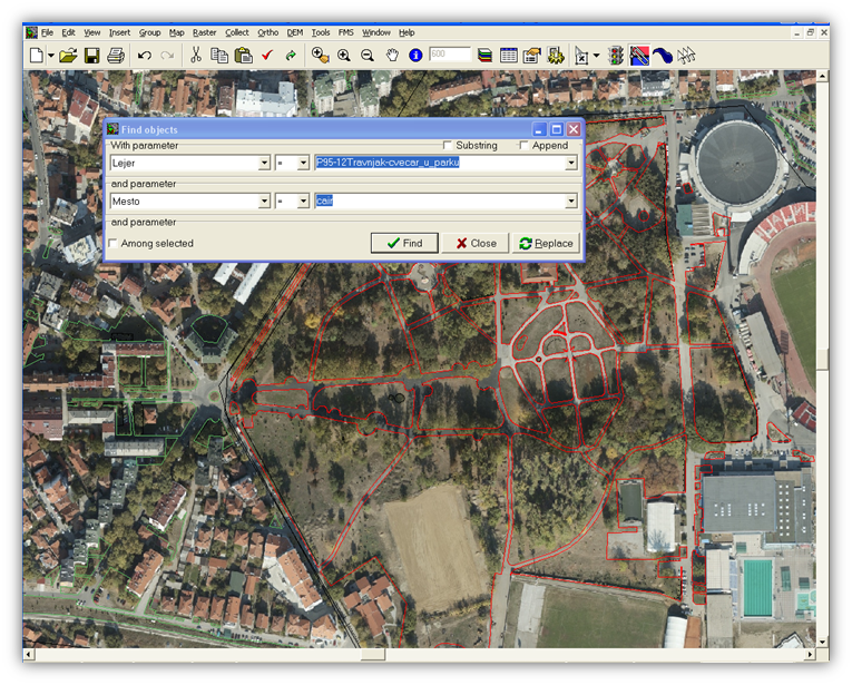
following figure presents cadastre of green areas established for city center of Niš: