
Thessaloniki, Greece, September 1, 2014
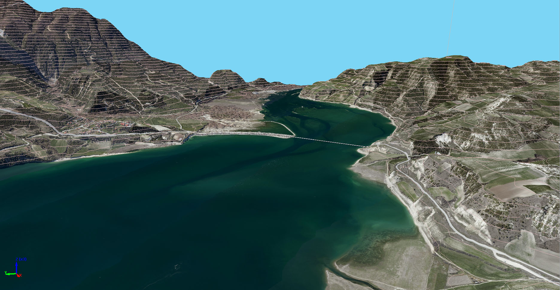
Project Kozani successfuly completed. Aerial photography was realized with 10cm GSD. The main scope of the Project was property registration. Project was realized with our partner Geoanalysis from Thessaloniki, Greece.
All collected data processed and delivered:
- Vertical and oblique aerial images,
- Digital terrain model (grid 5m),
- Software for stereoploting and digital maps production
Geo Info organized training for specialists for using vertical and oblique images for cadastral mapping.
Oblique aerial images have advantage comparing to vertical images. It is possible to have better perception about each house and to collect data about number of floors.