

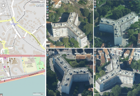
Explorer
Oblique Mapping for Everyone.
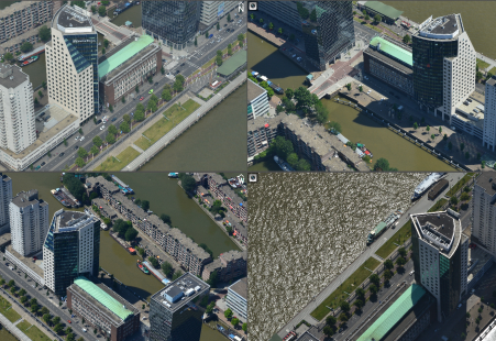
let explore your oblique data
navigate, focus, zoom & overlay vector data
access to any Orbit prepared Oblique project
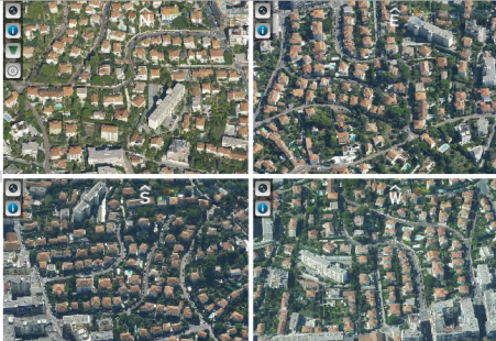
Basic
Setting the Standards for Oblique Mapping!
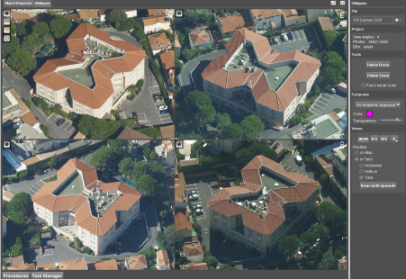
import and load any camera, any data, any angle
new generation view & navigation tools
measure & overlay to make better decisions
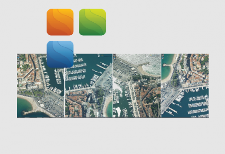
Feature Extraction
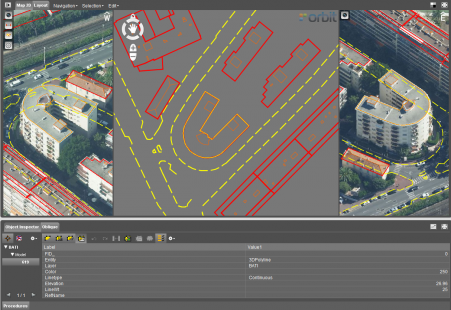
Suited for Feature Extraction.
professional Oblique Mapping unit
access to any GIS data content
register any object into GIS data formats
Pro
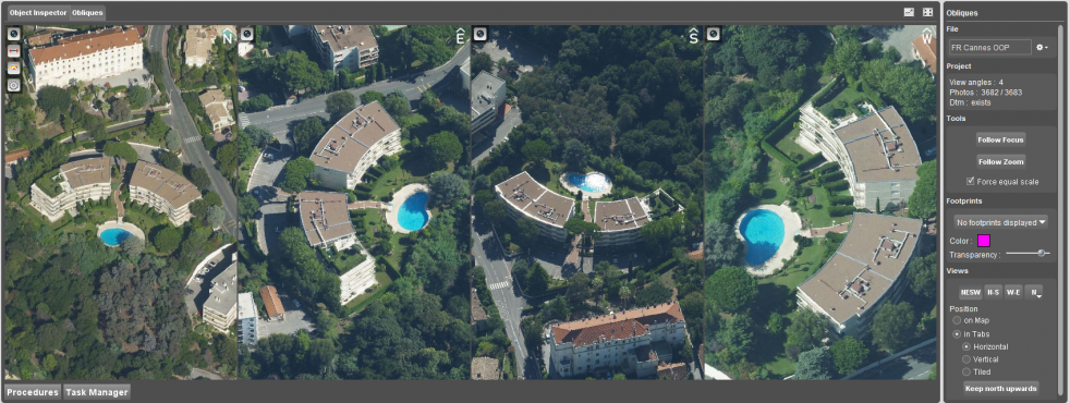
Hi-Professional Desktop Edition.
full feature extraction unit
powerful engine for dense DSM matching
will become available soon
Publisher
Better by Design.
the quality way for publishing online
towards an efficient use of oblique imagery
publish online and integrate using SDK
Oblique SDK
Yes you can! Integrate Oblique Mapping.
integrate oblique data in any workflow
user friendly oblique navigation, measurement & overlay
available in Flex, JavaScript and dotNet
Oblique Integrations
 Will become available:
Oblique Mapping for ArcGIS for Desktop
Oblique Mapping for AutoCAD
Oblique Mapping for Microstation
Oblique Mapping for GeoMedia
Oblique Mapping for MapInfo
Oblique Mapping for SmallWorld
Oblique Mapping for QGIS